Saturday, 19 May 2012

The Number 332 Route


St. Raphael’s North to Paddington Station
Monday July 5th 2010

This was our way back from two earlier key routes round North West London and proves to be one of those ‘useful’ routes serving the Brent Park Estate, better known as the Neasden IKEA.

No one was actually clutching a flat pack, or even a lamp, so maybe even on a Monday morning they could not face the queues  though the packed car parks might indicate otherwise.

Back to the bus, which had to weave its way up and over or was it down and under the 3-lane dual carriageway beast that is the North Circular hereabouts. There were more and smaller trading estates including Propeller Park named we presume for the wind turbines on the roof . 

The bus also does a little loop into what was Neasden – the suburb from the Thirties which still has it high street parade in that familiar north London style – to pick up its passengers and then returns on its journey south and west through the rest of Neasden and on into Dollis Hill. It was only when we were half-way along that we noticed that Dollis Hill really is elevated and therefore offered us the most splendid views towards Hampstead, Highgate etc – the highest points hereabouts. Though a multiple bus route, the houses remain uniform and well kept with varied front gardens – not all put to car use – and even still a local pub (The Ox & Gate), though deemed unremarkable by the pub reviewers at Fancy a Pint. Dollis Hill has several World War II connections, what with having a remote underground bunker to shelter the great and the good and the Post Office research centre where they built the Enigma (code-breaking machine): not bad for an area usually thought of as either Neasden or Cricklewood.

The 332 is of course closely related to the 232 and its really grown-up relative the 32 which ‘does’ the Edgware Road in a somewhat boring straight line – this more or less carries on where the 32 stops at Cricklewood, passing the rather modern bus garage. 

Certain bus companies are German – this one seems to be owned by a Singapore company making you wonder how British is the British bus?

Back on the Edgware Road (ho hum, but for probably the last time) there are several charities which surely benefit from the range of routes serving them – we spotted the HQ for the MS Society and another large branch of the British Heart Foundation which will re-cycle household items.

Cricklewood merges into Kilburn, which does retain its Irish Identity though successive waves of other immigrants also live here, some clearly preferring more bling on their furniture than others. The very handsome Crown pub has had a hotel annexe added to make the modern Crown Moran hotel and further down is the Beaten Docket – referring to a betting slip for a losing horse. Yet further the Black Lion – all are handy venues if you are thinking of a night out at the Tricycle theatre also along here.

In case all that booze, betting and theatre proves too much for the soul, the Ruach Ministries have taken over the former Gaumont cinema for their North London HQ – so are clearly expecting large congregations. 

Kilburn is always slow for traffic (perhaps if one crept up on it at about 3 AM you might not bog down?) and today was no exception. We noticed as we entered the straight stretch of road that goes from the end of Kilburn High Road through Maida Vale and essentially up to Marble Arch (though the 332 stops before) that there was frequently very ‘fluid’ interpretation of the ‘Red Route’ and bus lane legislation – cars are allowed 20 minutes for loading and unloading but that seems to include quite small passenger vehicles (??) and we spotted a police car, on social rather than criminal business, in the bus lane – this of course means the bus has to pull out competing with the rest of the traffic and slowing everyone down. 

Maida Vale through Little Venice remains attractive even though on a busy road – the giant chestnuts sheltering the properties to some extent and many are well set back, especially the magnificent mansion blocks. At this time of year when they are at their most prolific the branches hang low so up on the top deck we had some regular thumps to accompany our progress.

Just to finish at Westway the 332 pulls off and down along past the flyover, over 
Bishops Bridge Road and stops alongside Paddington station. The area round the Bridge has been smartened up with a recent building programme though it feels a bit of a no-man’s land marooned as it is between rail and canal and road.

Longer then the scheduled time but still not bad for a route which goes from out of town IKEA to a main line station. 

Thursday, 17 May 2012

The Number 331 Route


Uxbridge Station to Ruislip Station 
Wednesday May 16th 2012


Uxbridge Station and its very tidy looking environs seemed unfamiliar, which is fairly remarkable if you think we have already covered 330 bus routes; research indicates that I did not ride the 222 (Jo & Mary), which is the previous Uxbridge route so I suppose it was fitting that I should be doing this one alone, while they holidayed, hopefully enjoying some sunshine. All I can say of today was that the sunshine was a bit timid, but the rain stayed away. Uxbridge Station has some nice stained glass windows and the adjacent shopping centres, built onto the High Street, looked clean and litter-free even if not overly prosperous. From this you will gather I had some time to spare, whilst waiting for the single decker route, which runs 3 times an hour. 

When it came, it stopped almost immediately, with eight of us already aboard, in the High Street where another dozen or so passengers got on. ‘The Good Yarn’ pub opposite the bus stop was named for a well-established tailoring firm previously on this site, now a Wetherspoons.  Historically, as well as being a staging post on the main road between Oxford and London, Uxbridge also gained the Grand Union Canal (just visible as we passed the ‘Swan & Bottle’ pub) where there were numerous mills. The canal connected Uxbridge to Birmingham. Neither of these links is terribly important nowadays but Uxbridge does have the benefit of two Underground lines.    

The 331 does a certain amount of speeding past several roundabouts and few stops along the dual carriageway Oxford Road, where signs to both the M25 and M40 indicate where all the really heavy traffic goes. One side of the road was built up with mid-century homes while nurseries (as in plants) populated the other side and some sports facilities – signs for the Denham Village Fayre, and Denham Ladies (Cricket? Football?) – meant we were passing through not just Denham but Denham Green and Higher Denham. One of our followers had informed me that like nearby Pinewood Denham was home to a film studio between 1936 and 1952. Denham’s output includes such diverse gems as ‘A Matter of Life and Death’ and ‘The Arsenal Stadium Mystery’ (there are some who might say this is one and the same). No signposts to this admirable heritage today but various pointers to the Golf Club and station.

A big wall along the road with mature trees and a glimpse of water might just have been the Denham Country Park also known as the Colne Valley Park.

It is quite watery round here and having passed the ‘Horse & Barge’ and then crossed the Grand Union canal on leaving Uxbridge we passed it again by the Harefield Marina. This website shows how little of the extent of the canal life is seen from the roads

Other local sights include the Anzac War Graves, which are signposted, and where over a 100 Australian and New Zealand troops were buried during and after the First World War. The hospital originally built for them now houses one of the UK’s most famous and major transplant units.


Harefield Village retains much of its original charm as a country village complete with Green, war memorial and village pub. The pub’s current naming as the ‘Harefield’ only dates from 2007, but is perhaps more fitting than the ‘Pickle jar’ which it replaced, and the  depicted hare in a field is undeniably more attractive than a jar of pickles.


The next stretch of the route disappeared in a blur – not that I was asleep or anything, but with few stops requested once past the Harefield Academy the 331 hit a good pace past the open farmland that survives hereabouts. Passing through more open space at speed and just tipping out of TFL Zone 6 we sped along from one hospital to two others – this time Mount Vernon and Bishopswood Hospitals.  The former has a long history going back to the treatment of consumption (TB to you and me) in St Pancras, then cancer in Hampstead, though since 2009 it has been a Treatment Centre rather than offering acute services.  The Bishopswood is a private resource, named for the local wood, which is still visible from the bus.
     

The 331 has to execute two quite tricky right turns to get in and out of the hospital forecourt and then takes a further deviation in order to serve Northwood Town Centre and railway station. Also on the Metropolitan Line, this was built in 1897 and the local housing reflects this expansion. Northwood Station has the most enormous car park, where in fact the 331 was allowed to do a twiddle so that it could head out of Northwood again and back towards Ruislip.

By now we had been underway for the 45minutes estimated at the bus stop in Uxbridge so I thought we might be close to our final destination. However more country lanes and hills were on our schedule (I now know why it’s called Hillingdon, the local authority through which most of today’s trip went). The driver took full advantage of the permitted 50 mph speed limit as we headed out of Northwood by the Gravel Pits open area and then past Copse Wood and the intriguingly named Mad Bess Wood. Local historians have no definitive answer but the likeliest origin would refer to some poor demented woman who either lived or ended her days in this area?

Of course I had to photograph the horse in the field as inner London nature study offers little more than the odd dead fox in the gutter…

Coming down to the very modern looking   Breakspear Crematorium  (built 1957 with later additions) I was interested to see that it could be used as an ‘overflow’ car park should the adjacent Lido be full. However the  Friends of Ruislip Lido are fearful that recent tree falls will do the council’s work for it.

Just as I was thinking this really should be a Greenline Bus (for those of you not old enough to remember Greenline buses they were the ‘country cousins’ to London red buses and operated on more rural routes – since TFL they have either been absorbed as London Bus Routes as in the case of the 331 or been taken over by neighbouring authorities such as Hertfordshire or Slough) we approached Ruislip via a modest housing development and then into the former village. Ruislip, it has to be said, looks rather less villagy than other landmarks on this route but nevertheless retains a lively High Street.  The station is set back from the road which allows for the buses to park up, and that is what the 331 did, an hour after leaving Uxbridge having taken a circuitous route through the countryside and villages of Denham Harefield and Northwood on what was actually a very memorable country outing after weeks of somewhat repetitious travelling in East London!


Wednesday, 9 May 2012

The Number 330 Route

Wednesday 9 May 2012

We set off from Canning Town at 11.10.  The roadworks have been going ever since we began the project, though this time we thought we detected some progress, in that there were skilled craftsmen building a little yellow brick wall around one of the roundabouts.  This is one public work that will not be finished in time for the Olympics. (This world weary cynicism was brought on by the sight - on our earlier bus - of people planting geraniums and such all over the place around Stratford.  It reminded me of Count Potemkin ordering the painting of peasant hut facades when Catherine the Great visited the Crimea.  I gave Linda her weekly history lesson, she having thought that Potemkin was a warship, not to mention an Eisenstein film)

Now, where were we?  Oh, yes, leaving Canning Town bus station with a knowing laugh, since the bus stop said that our time to Wanstead Park would be 19 minutes.  The shops along the Barking Road  towards Plaistow were at first predominantly African and Caribbean.  We noted the Celia Hammond Animal Trust, where there seemed to be a bit of a queue to get animals neutered.

We were also pleased to see that Hitchcock's the undertakers still offers horse-drawn funerals.  As we moved into Plaistow, we came into an area of sumptuous sari and jewellery shops.  We were slightly puzzled that some were offering Eid bargains, since it's a long way to go to August.  We had time to admire the shops as the traffic was fairly slow along here as we reached Upton Park.

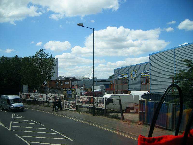
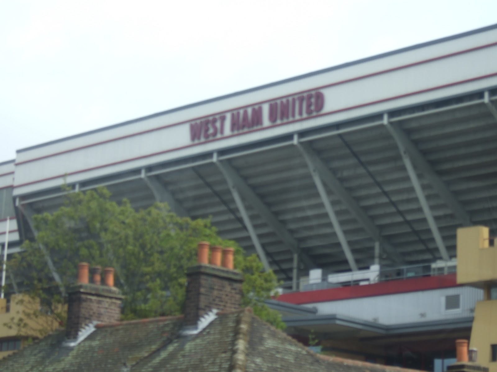
Although a bus stop is named for it the Greengates Pub is now all shuttered up.  We turned left along Green Street, at the Bobby Moore memorial, to pass West Ham's Football ground.  Who knows whether they will return to the Premiership after their playoff final in a few days time.  Back out onto the main road, we came past Upton Park Station, and then came to a halt as we met what appeared to be quite minor road works, but with four way traffic controls.  We sat for 10 minutes, which ensured that our journey time would not be as advertised!


Forest Gate Police Station is large and imposing looking, as is Emmanuel Church, surrounded by its green and pleasant church yard.

Both Linda and I were expecting to go a little further, not least because Wanstead Park has a slightly 'green and open' sound to it. One of the newish blocks of flats did indeed have a number of trees in pots as part of its roof garden.  But we drew to a halt in what we would certainly call Forest Gate, and realised that the railway bridge ahead of us was Wanstead Park Overground Station and then end of our trip.  It had taken ten minutes longer than the supposed time, all accounted for by the traffic hold ups of road works.

We were surprised - though delighted - that such a modest route should have double deckers.


Sunday, 6 May 2012

The Number 329 Route


Turnpike Lane to Enfield Small Park Gardens
Thursday September 8th 2011 (Also 2/11/2009, see the post below this one)


{In order to maintain a list of completed routes we have a 12 page Word Table where we list the routes completed, by whom, on which date (turning black to red) – pretty basic and foolproof but pretty effective.  However, there is always human error and human error forgot to list that we had completed the 329 alongside the Route 41 back in November 2009. The fact that I had 7 photos stored should have alerted me but by the time I twigged the schedule was set – in any case it was a new route for Mary.}

Having admired all the charms of Turnpike Lane stations – those wonderful lamps surely an inspiration for the Moscow Metro – we very soon boarded the double decker 24 hour 329. In essence this is a Night Bus covering most of Route 29 (See September 2009) with an extension out to Enfield, where we were bound today.

Like all the other routes from Turnpike Lane, we headed up to Wood Green along the High Street (fine clock adorning the M&S, now an outlet only) and through the Wood Green Shopping City. Travelling towards the end of the week it was interesting to note the number of fruit and vegetable stalls that were already busy in the small side streets.    

Past Wood Green we spotted a pub still sporting its sign as the Fishmongers Arms – now hallowed as a venue where Pink Floyd played.  I can smugly say I had already seen them twice by the time they arrived in Wood Green, but that’s another story.


Also intriguing is what looks like a former car showroom, all glass and gloss, but now a church of the Seraphim and Cherubim. The bus was making very stately progress so when we stopped for the North Circular road works close to Bounds Green it did not feel all that shocking – shocking only that these road works have been going since spring 2010  with a 2-year programme. Which should mean they’ve finished by the date this is posted? Let’s hope the improvements are as beneficial as promised.

Having crossed the 406 (North Circ to you and me) we were now on the only route heading to Palmers Green . Passing the Alfred Herring pub (do we have a fishy theme this week?). AH proves to have been a World War 1 hero awarded the Victoria Cross for cheering on his troops. He also survived which is quite unusual.

He lived in nearby Fox Lane which has a pub at the end resplendent with a lovely plasterwork fox, which we did not quite capture…The Green at Palmers Green has been reduced to a small triangle of largely convolvulus (could do better). The to St Monica’s church – while the more recently famous Monica was a NY cook with OCD and five other Friends this one was a North African with a rather tiresome marriage but mother to Augustine. As it happened, a rather happy looking nun boarded here and sat on the top deck with us until getting out at Enfield, of which more anon.

By now we were crossing and running alongside the New River which we have often tried to capture as we passed: today’s stately progress allowed Mary to take many excellent shots.  The canal, for such it is, runs behind many of the houses through Winchmore Hill and the bus route follows a series of winding old country lanes including Green Dragon Lane with its eponymous pub, inevitably now serving Thai cuisine – a trick too good to miss. A pub of this name claims to be the oldest for Winchmore Hill. Later the roads became more wide, spacious and tree-lined – the restaurants many and varied including ‘The Trawlerman’ and another outlet promoting a seafood festival – who would have thought that a NW London bus could be so fishy?

As the 329 enters Enfield there was a strange large castle-like property on a corner looking slightly overgrown but no clues to its usage. Nearby too is the Our Lady of Mount Carmel buildings which looked rather like a convent (and indeed was where our nun got off) but may in fact just be a local RC society with links to the Italian community.

After the more villagy feel of the outskirts it was clear as we entered Enfield town that there were office blocks and new builds as part of the town centre. The route follows the well-established one-way system and comes to rest at Little Park Gardens having taken 40 minutes for this watery and fishy trip. 


Saturday, 5 May 2012

The Number 329 Route


Monday 2 November 2009


This post is a new experience for us and our readers.  Linda inadvertently travelled it a second time, this time in the other direction, much more recently that the trip reported here, and in the other direction, so  her version is above.  Near the beginning of the project, someone asked whether we would be doing each route from end to end in both directions, and we answered a resounding 'no'.  But this is an exception.  Now, back to 2009.

Less that 5 minutes after getting off the 192, we were onto our last of 5 buses of this epic trip, heading towards Turnpike Lane.  We had started, in number order, rather than journey order, with the 41, 143, 189 and 192.

I was mortified to spot the 317, which also starts and stops at Little Park Gardens, Enfield, but Linda kindly pointed out that even with my planning there was no way to do three buses from the same point in one seamless journey.  We shall return (and indeed, have returned).

We went round the shopping centre and past the handsome new library before emerging into the smart houses of Enfield Chase, and heading rapidly down London Road. We met the New River again (the weblink is for those of you who have forgotten!) at Green Dragon Lane, and then we were into Winchmore Hill and N21 with the New River running alongside the road. We were already into Green Lanes as we reached Palmers Green, with its 'Spin City' Launderette, and the Alfred Herring Pub.  For once I have found you a good source of information about the name, rather than the pub which is a Wetherspoons and so anyway has a few details.

We also passed a tobacconist's, but were uncertain whether the name was a promise that smokers get to heaven sooner than the rest of us.  Crossing the North Circular brought us into Haringey (thanks to the people who explained to us why the spellings varied)  and the College of North East London and past the magnificent War Memorial and the Nexx Level Caribbean Eatery.

And so to Wood Green Shopping City and Turnpike Lane Station (again...) by 15.05, making it a much quicker five bus marathon than our earlier one.


Friday, 4 May 2012

The Number 328 Route


Golders Green Station to World’s End, Chelsea
Thursday May 3rd 2012

This could have been a lovely day of buses in leafy south west London but in the end turned out instead to be rather tiresome, tiring and, as far as this route was concerned, decidedly uninspiring...

Having done our civic duty and voted, we had rather patchy experiences getting to Golders Green – the bus station is less ordered than some but better than it was and there was no wait for the 328. Really this was the 28 of my youth: in the Seventies the 28 went conveniently from Golders Green where I lived to Wandsworth where I was working, so I became very familiar with this route by riding it twice daily, end to end, for a whole year. While sections of it have changed, on the whole the rich bits have stayed rich (or got more so) and the poor bits have stayed poor.  Apart from anything else the 328 route has no unique features, sharing as it does large parts of its journey with the 28, naturally, and the 31. 

Having shot off at great speed before we took our upper deck front seats the bus settled along the Finchley Road and the first thing I spotted was a big hole previously filled by a cinema (the Fifties) a Bowling Alley (the Sixties to Seventies), and some kind of residential care (the Nineties onwards) – not sure what is coming next. A website waxes lyrical about a prestigious development called West Heath Place but this phoenix seems slow to rise?

Veering right down West End Lane, the bus passes some fine trees and Hampstead Cemetery. Much less famous than its Highgate equivalent it nevertheless has a few formerly famous names ‘at rest’ including Joseph Lister whom we thank for antiseptic use. The Friends  have successfully campaigned for restorative lottery funding.  Otherwise its main alley doubles as a footpath across to Cricklewood, or do I mean the opposite. Fortune Green brought us down to West End Green, looking suitably verdant after the rains and complete with water fountain.  This bit of Hampstead is a long way from the Heath (two whole stops on the Overground) but makes up for this with its wide range of ethnic eating places; it still feels more like bed-sitter land and is popular with young couples who then cannot afford family homes so far into town. West End Lane snakes and as such can be slow but not today so we were soon in Kilburn – always busy – sitting on the Edgware Road with many shoppers and perhaps a few voters scuttling to get their chores done before today’s rain. 

Following the route of the Roman Watling Street (do you suppose the chariots were held up on their journeys north by crisscrossing colonised early Britons?) this has always been a key route. Strangely, though Kilburn has three stations (Metropolitan/Jubilee and Overground) most people seem to prefer the buses, and really this 328 was consistently busy. Kilburn has long been associated with Irish settlers and they have now been joined by other newer arrivals,  which keeps the area vibrant if not affluent. 

I have yet to identify who Betsy Smith might be; it is quite unusual to have pubs named after women other than royals but this would appear to be more of a ‘construct’ perhaps to offer a drinking experience that is not the hard drinking male environment that used to characterize the watering holes of NW6. Anyway designers need look no further.

Talking of grand designs, it is hard to miss the enormous pile (possibly still the 3rd largest  church in London) that is St Augustine’s – red and Gothic Victorian to its last brick. I had always assumed it was Roman Catholic but perhaps Anglo-catholic might be closer to the mark – it has two schools close by and dominates this end of Kilburn.

Before we leave, a mention for the lost river Kilbourne, which joined the Westbourne then Tyburn en route to the Thames.

After leaving the straight and narrow of the old Roman route, the 328 commences its wriggles through the less smart ends of Maida Vale and Notting Hill. At the junctions of Elgin Avenue the pavement has been widened, we thought on our last trip through here to facilitate life for cyclists, but today we spotted a range of rather bedraggled stalls of the fruit and flower variety, clustered round the toilet, and some-one (Westminster council?) has named this the Piazza?? I fear Italianate descriptions without the weather will not quite work.


Jo, knowing my fondness for water (It’s grey and murky, she said), captured the Grand Union as we crossed over . Just sited on the bridge also, lurking under Westway, sits the Westbourne Park Bus Garage looking very sizeable from the road , though the photo seems to show buses with their bottoms hanging over the canal  so reversing must be fun..

This was to be our last trip through Notting Hill, and we do love the pretty houses that somehow remain pristine and white even while being on a bus route, in addition to lovely wrought-iron balconies their balcony pots are objects of envy. The upmarket shops reflect the neighbourhood’s affluence. Towards Portobello Road the vintage shops (second-hand/used muttered Jo) proliferate, but still manage to look less tacky than Camden. Notting Hill used to be ‘edgy’ but no more.

On the route down to Kensington the shops are even more gracious as furniture does not have to ‘shout’ quite so loudly as clothes and here the antique shops specialise in clocks or chandeliers so very much a niche market.

We arrived at Kensington High Street at the corner formerly dominated by Barkers department store building remains but has somehow lost its cohesion. The same might be said for Kensington High Street, which today we found bland, verging on the tacky at its further end. There is a fine line in bike racks though. Possibly revamping the former Commonwealth Institute may rejuvenate this end of Kensington, but clearly there are strong opinions about everything here.   

At this point I will concede that the 328 does something quite bold by taking the car route North-South for this western end of London – which means trundling through Earls Court heading south. The numbers of buses passing this way have clearly been restricted as the roads ‘jam’ very easily. Many of the large imposing Victorian villas have been sub-let or turned into small hotels.

Sure enough Earls Court retains its Aussie/NZ credentials and both male and female hostels were visible from the bus. We enjoyed the pub’s decoration for ‘The Hansom Cab’ feeling the ‘lady’ was no better than she ought to be.


By now the driver must have decided his early speediness had paid off and that he was ahead of schedule as we slowed down considerably crossing the Cromwell, Old Brompton and Fulham Roads. World’s End, this route’s final stopping place, was named for a pub but while the area was trendy in the Sixties and Seventies it now merely supports large housing developments, which block the view to the river.  The housing is more imaginative than many of its time, but the name conjures up so much more than it delivers. Our route from quite far north in London had taken us a not unreasonable 1 hour and 15 minutes, criss-crossing some well-known parts of London.