


As we came through the village, we saw the village sign, which depicts Elizabeth I knighting Thomas Walsingham, a local who had helped raise money to defend against a possible Spanish invasion. So honours and big political donations have clearly been going hand in hand for some centuries.


We continued towards Petts Wood and Orpington, with green on both sides and really very large houses as well. Many of them had turned their front gardens into parking spaces, from which we deduce that some must be divided into several homes.


 Through Orpington centre, we noted that the Bon Marche had closed, though it seemed to be quite a thriving town centre otherwise; but we were rapidly through, past the war memorial on its traffic roundabout and up the hill towards the station. Presumably railway engineers preferred to avoid the steep valley of the Ravensbourne, however inconvenient the climb out of the town might be for rail passengers. Houses here were built on embankments steeply above the road, and many steps to reach the front doors


 New properties were promised, luxury apartments with two bedrooms and two bathrooms.
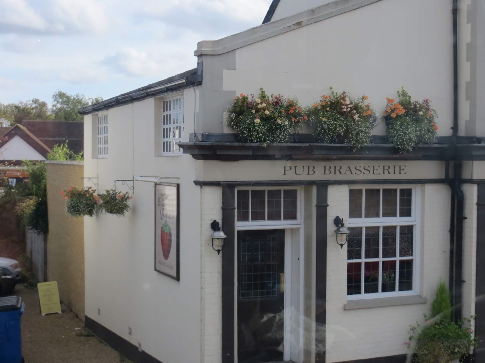
We came through Locksbottom, which is basically a line of shops with two pubs, both of which seemed to be thriving. Called the Black Horse and the Whyte Lyon, these seemed traditional names for pubs. The British Queen, which came next, was more puzzling, since its sign was a strawberry. I do know (well, now that I've checked in the internet) that there is such a make of strawberry, but I don't know why they should have avoided pictures of royals, and gone for soft fruit instead.


 On towards Bromley itself, we passed several more pubs, as well as the Stagecoach bus garage and the gigantic police station with its roof covered with solar panels, we were glad to see.

We passed Bromley South Station, but this route, like so many, finished at the picturesque but effectively useless Bromley North Station, so we turned right past the huge Glades shopping centre, and went round the relief road which enables the High Street to be pedestrianised, before wriggling through the streets of North Bromley to reach the station. We liked the print and copy shop with a window which said ' good quote: to be or not to be; better quote, 10,000 A5 leaflets for £185'.

 A former pub had become a sourdough pizza place, and there were several more coffee shops than the last time we were in this bit of Bromley.
We finished our trip at 2.45, less than an hour after setting out, having enjoyed the reasonably sunny day.
This comment has been removed by the author.
ReplyDelete